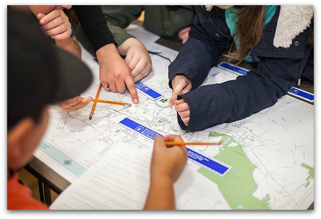
Each year the North Bay GIS User Group hosts a GIS Day event. This FREE event is open to the public and showcases how GIS is being used in your community and at local schools.
Each year we host classes from local schools. Each class is at the event for two hours and learns about GIS and maps through the following activities:
- Sonoma County Water Agency - Water Education Program
- Geocaching (by Piner High School's Geospatial Technology Pathway)
- Drone Demonstration (presented by Cinquini & Passarino, Inc.)
- Public Safety Vehicles
- Santa Rosa Fire Department - Engine 2
- Exhibit Hall
- AR Sandbox (presented by Sonoma Ecology Center)
Educational Resources
- GIS Day (http://gisday.com)
- What is GIS? (http://www.esri.com/what-is-gis)
- Geospatial Revolution Project (http://geospatialrevolution.psu.edu)
- National Geographic Education - Mapping (http://education.nationalgeographic.com/education/mapping/)
- A map for every story (YouTube Video)
- GIS 4 Kids (Esri Insider)
- Teaching with GIS: Introduction to Using GIS in the Classroom (ESRI Web Course)
- Esri K12 GIS Organization (http://esriurl.com/k12gis)
- Esri ConnectEd Program (http://www.esri.com/connected)

GIS Day Sponsors
Thank you to the following sponsors, without their support GIS Day 2019 would not be possible.
Platinum Sponsor |
 |
 |
If your company would like to join with us as a sponsor and help share GIS to the North Bay community please contact This email address is being protected from spambots. You need JavaScript enabled to view it..